

Mirkwood
A rolling one-mile loop through the pines south of town.
MoreApproachable singletrack through a pine forest near the Stambaugh Airport. Park across the road from the airport access. Hikers and trail runners use it too. Trail map
Hardwood ridges above Lake Ottawa, towering pines at Lake Mary Plains, new singletrack in the woods around Iron River and a paved path along the river into Caspian. Here's where to hike and ride in Iron County from snowmelt to late summer, and what to know before you go.
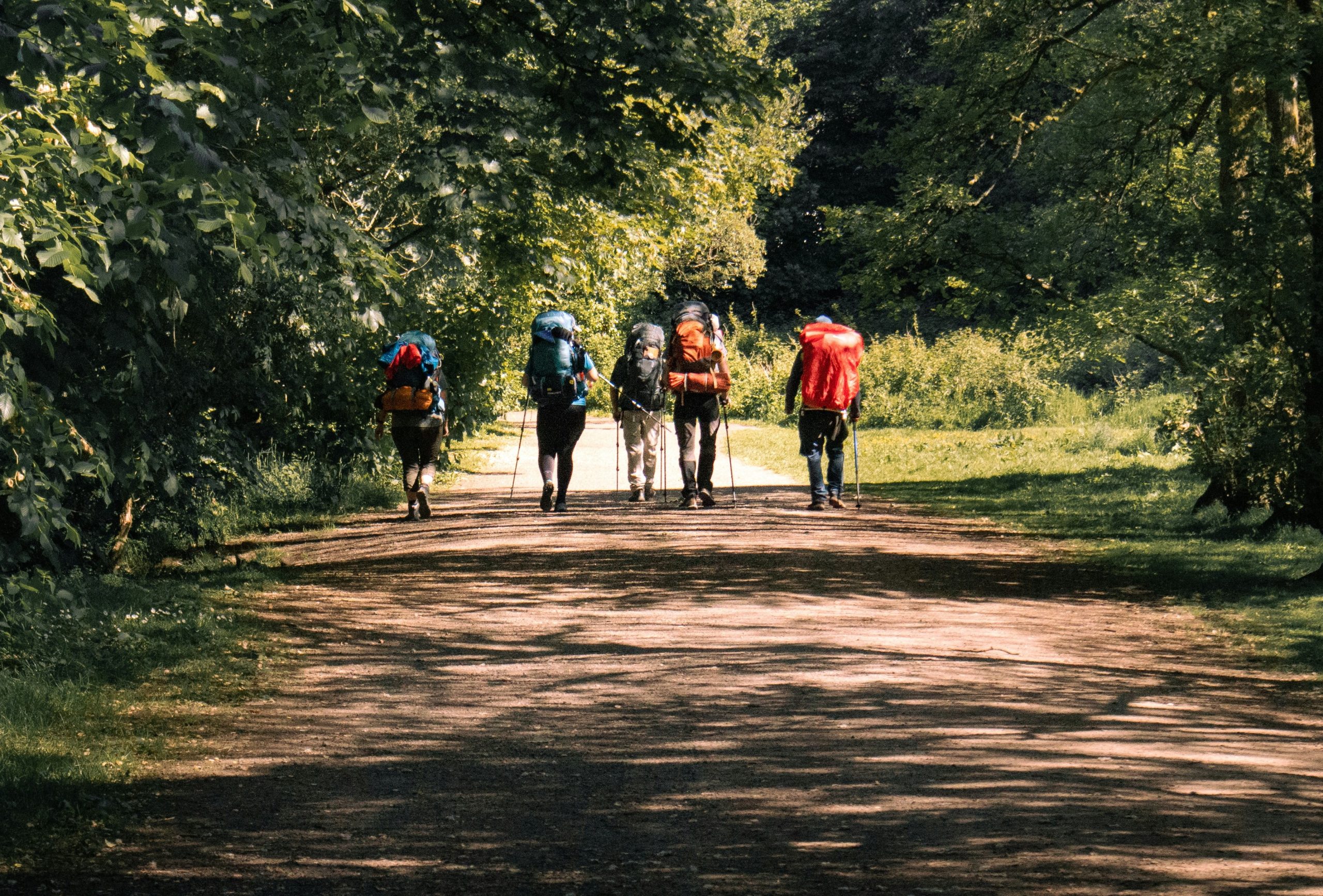
This is hardwood and pine country, cut by rivers and scattered with lakes, and the best time to walk it is before the leaves close in overhead. Start with these four.
Ge-Che Trail. About nine miles of dirt trail at Lake Ottawa, five miles southwest of Iron River. It's hilly hardwood country with one big view, from Orville's Bench on the ridge above the lake. For a shorter walk, take the 2-mile Bennan Lake loop or the 2.5-mile Ge-Che loop.
Lake Mary Plains Pathway. Big pines and Glidden Lake, six miles east of Crystal Falls. The trailhead is inside the Glidden Lake state forest campground, which opens May 1. The north loop around Glidden Lake, between markers 7 and 8, is closed for unsafe bridges and there's no way around it, so plan your walk on the other loops.
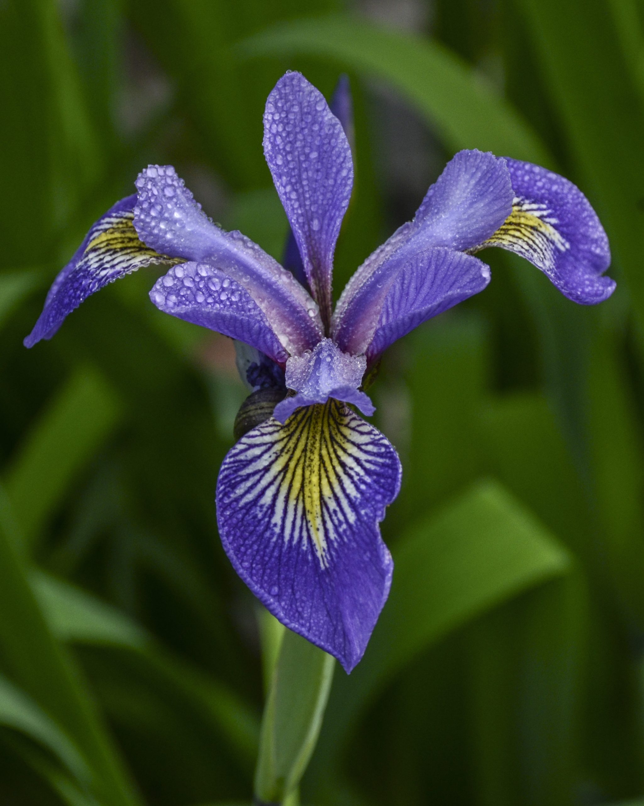
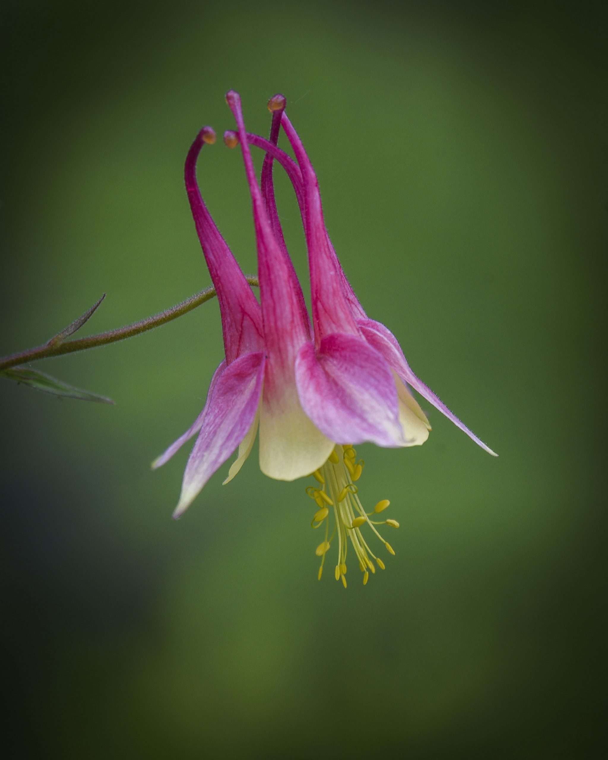
Bewabic State Park. A 2-mile nature trail on Fortune Lake near Crystal Falls, past stone buildings put up by the Civilian Conservation Corps. In spring the wildflowers come up right along the trail.
Wolf Track Nature Trail. An easy, self-guided 1.5-mile loop at Young's near Crystal Falls, with a side trail up to Mt. Margaret.
The singletrack around Iron River is new and still growing, built by the Iron County Trail Club together with the bike shop in town. Hover or tap a card for more.
A rolling one-mile loop through the pines south of town.
MoreApproachable singletrack through a pine forest near the Stambaugh Airport. Park across the road from the airport access. Hikers and trail runners use it too. Trail map
An old ski-jump hill with meadows and a few hard climbs.
MoreRoutes wind through woods and open meadows full of lupine and other wildflowers, with a few tough climbs and some fast downhills. The trailhead is across the parking lot from Caspian City Hall. Trail map
A short, friendly loop for your first ride.
MoreAbout six-tenths of a mile at Taproot Community Farm on Stambaugh Avenue. Park near the farm entrance. Trail map
Over 13 miles of two-track looping around Scott Lake.
MoreSome of it moderate, some of it hard. The trailhead is 1.4 miles from Young's, across County Road 424. Check in at the Pro Shop before you ride, and carry water: there's none on the trail. Young's trails
Hike-or-bike trail on the side of the town ski hill.
MoreThree and a half miles on the southwest side of Crystella Ski Hill, built with the City of Crystal Falls and open to hikers and riders. Crystal Falls trails
Big miles of forest road, gated ones included.
MoreThe forest is open to bikes, closed and gated roads included, unless a sign says no bikes. Ski trails like the Ge-Che can be ridden in summer, but nobody clears them then, so expect downed trees. Carry your bike over the boggy spots. Forest biking

Not every walk here needs boots. These are flat, easy and close to town.
Apple Blossom Trail. Paved, closed to motors and about two miles long. It follows the Iron River along an old ore-railroad line, from downtown Iron River to the Iron County Historical Museum grounds in Caspian. Bring the road bike here.
Crystal Falls River Walkway. An accessible walkway along the Paint River from Lincoln Park, just north of M-69, with benches, fishing piers and signs about the river.
Heritage Trail paved stretches. One runs from downtown Crystal Falls toward Fortune Lake, another from Iron River toward Chicaugon Lake. Check conditions before you plan on riding them end to end.
Mile Post Zero. A flat walk of about four-tenths of a mile at Brule Lake, out to the 1840 survey marker where Michigan meets Wisconsin on the Brule River.
For short walks out to falls, see our Waterfalls guide.
The old railroad grades look like bike trails on a map. In summer they belong to ATVs, and the surface is loose rock.
Spring comes late up here, and then all at once. The snow goes out of the woods in April, the trillium comes up in May, and by June the black flies are out with it.
Trails are soft and the rivers run high. The Lake Mary Plains trailhead stays shut until the campground opens May 1. On a bike, get off and carry it through the mud rather than riding around and widening the trail.
Trillium and ferns come up on the forest floor, and Bewabic's nature trail fills with wildflowers. The Lake Ottawa fee starts mid-May, and Pentoga Park opens the Friday before Memorial Day. It's morel season in the same woods.
They bite in daylight and stay close to water. Wear long sleeves and long pants, pack a head net, and use the same repellent you'd use for mosquitoes.
The meadows on Telmarine Hill fill with lupine, usually around mid-June, and they're worth riding the climbs to see.
The light holds late, long enough for a ride after supper. Ticks are still out, so check yourself after every hike.
When the maples turn, go to our Fall Hiking guide. When the snow comes, switch to fat bikes or snowshoes.

Maps and trail news for Mirkwood, Telmarine Hill and the Taproot Loop, plus the club's work days.
Iron County Trail ClubTrail details for the Ge-Che, and the fee season at Lake Ottawa.
Lake Ottawa Recreation AreaThe trail map and the latest on the Glidden Lake loop closure.
Lake Mary Plains PathwayThe city's own page for the Iron Endurance trails and the Paint River walkway.
Crystal Falls TrailsRepairs, parts, mountain bikes and e-bikes on Washington Avenue in Iron River.
Into The Wild BikesOur spring weekend plan, with places to eat and things to do between trail days.
Spring Weekend GetawayThe Ge-Che Trail at Lake Ottawa, about five miles southwest of town, with nine miles of hilly hardwood trail. For something shorter, walk the paved Apple Blossom Trail or the Mirkwood loop south of town.
Yes. The Mirkwood, Telmarine Hill and Taproot singletrack loops are around Iron River and Caspian, and near Crystal Falls you can ride Young's Scott Lake trails, the Iron Endurance trails and the Lake Mary Plains Pathway.
You can, but they're old railroad grades of loose ballast shared with ATVs in summer. Ride them on fat tires, or take the paved Apple Blossom Trail instead.
Yes. It's paved, closed to motors and about two miles long, running along the Iron River from downtown Iron River to the museum grounds in Caspian.
Yes, for your car. Every vehicle entering a Michigan state park needs one. Michigan drivers buy it with their plate renewal, and out-of-state visitors can buy a day or a year pass.
From mid-May through June. They bite in daylight near water, so wear long sleeves and pack a head net and repellent.
Yes, on a leash no longer than six feet at Bewabic State Park and Lake Ottawa. At Bewabic, dogs can go along the shore but not on the swim beach.
Into The Wild Bikes on Washington Avenue. It works on every make, sells parts and e-bikes, and opens at 11, Tuesday to Saturday.
Come in early May for quiet trails and the first trillium, or in June when the lupine is up on Telmarine Hill. Then find a place to stay close to the trailhead.
Spring, Summer, Things to do and tagged biking, crystal falls michigan, hiking, Iron County Trails, iron river michigan, mountain biking, upper peninsula michigan.
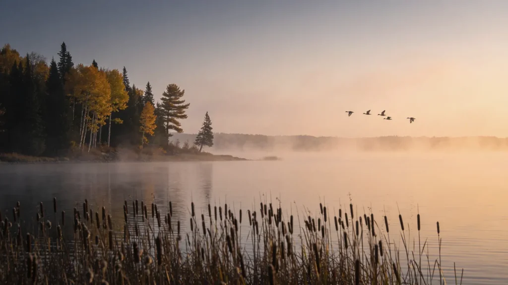 Duck and Goose Hunting in Iron County, Michigan
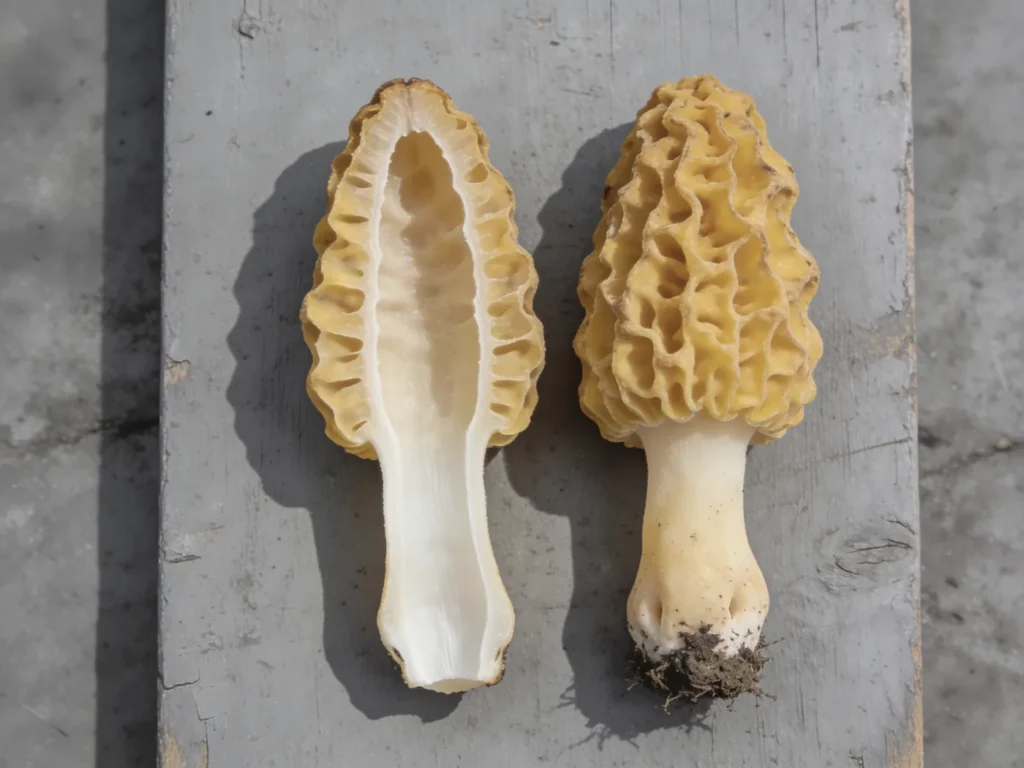 Morel Mushroom Hunting in Iron County, Michigan
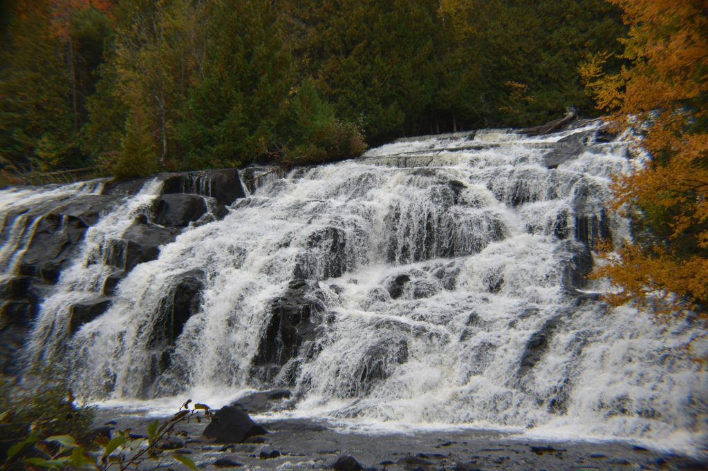 Waterfalls in Iron County, Michigan
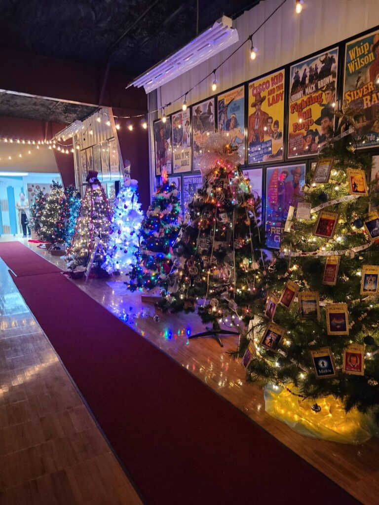 Christmas Tree Galleria in Caspian, MI

906-214-2308
906-265-9100
40 E Adams St
Iron River, MI 49935

906-265-9244
1700 County Road 424
Gaastra, MI 49917

906-265-3611
1257 W Ice Lake Rd
Iron River, MI 49935
800-362-7853
373 Brule Mountain Rd
Iron River, MI 49935

800-DO-BRULE
906-265-4957
397 Brule Mountain Rd
Iron River, MI 49935

906-822-7713
1968 US 141 Highway
Amasa, MI 49903

Iron County is one of the Upper Peninsula’s best kept secrets. From camping to fishing, hunting to canoeing, mountain biking to forest bathing – no matter your interests, the great outdoors and clear crisp air await you here.